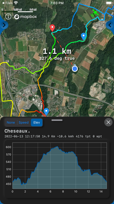
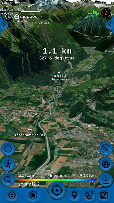
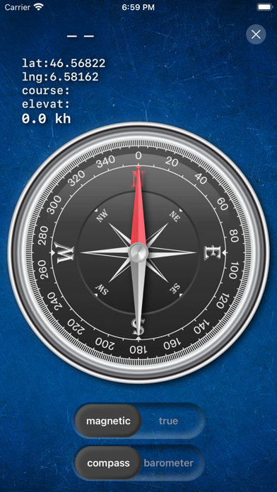
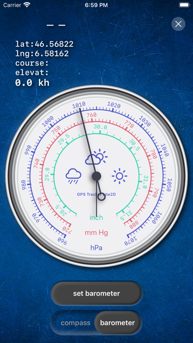
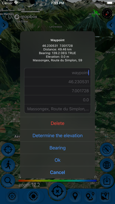
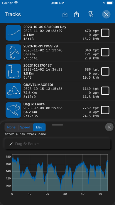
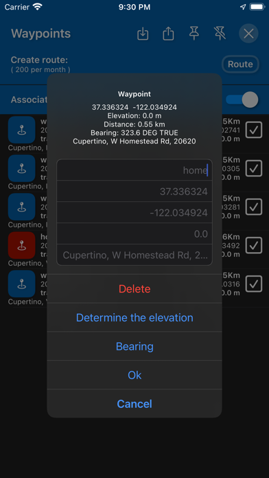
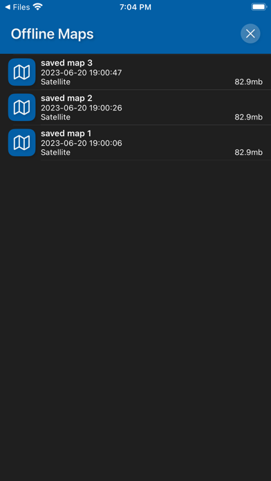
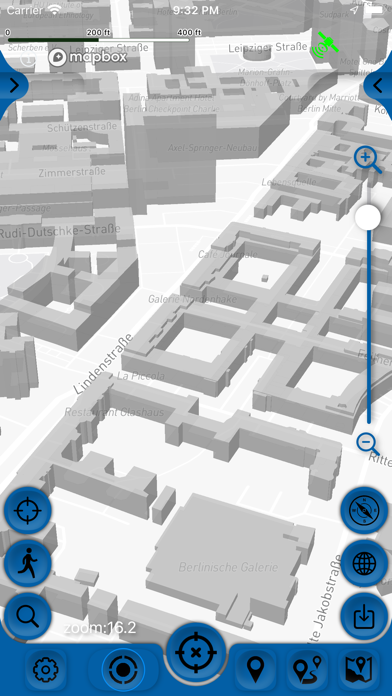
New engine from MapBox with 3D maps. Create, import, export tracks with waypoints. Supports offline maps. Has several 2D map styles - satellite, streets, combo and dark. Two 3D map style. The main functions of the application: - pedometer for the last 3 months from HealthKit, distance traveled and steps. - application language switcher, in the application settings. - clickable tracks. - online distance to the selected waypoint. - charts for tracks in the pop-up panel. - loading and storage of maps of the travel area. - multi-point route planner for auto, bike and walking. - ability to determine the elevation of distant waypoints. - clickable and editable waypoints. - landscape and portrait orientation. - pedometer with an approximate estimate of the distance traveled. - barometer. - supports all import and export methods available for your device with services, friends and applications in .gpx format. - color gradient for speed and height, if this information is in the imported track. - color gradient for speed and height for recorded tracks. - recording speed and altitude in the track. - relief contours in outdoor mode. - different units of measurement: miles, kilometers, feet, meters. - work in the background. - matching tracks to the road network. - track thinning and removal of extra points. - approximate restoration of speed data if the imported track did not have them. - viewing one or more tracks in any application mode, including the recording mode of another track. - installation, editing, deletion of waypoints in any application mode and anywhere. - the ability to adjust the quality of the track, distance filters, energy saving mode. - export and import of tracks and waypoints to various services - Open Street Map and others. - has a pointer to the target waypoint and shows the distance to it. Easy target waypoint selection in several ways. - display of additional information on the screen - scale, coordinates, height, speed. - shows the current distance traveled by the track and the travel or walk time. - Supports dark theme. - easy start and stop of tracking . - several modes of map orientation - by the heading of the phone, in the direction of travel, centering and to the north. - Possibility of tilting the map with double pinch. - quick and easy selection and viewing of saved tracks, waypoints and maps. - Terms of service: https://appsupport.store/terms/ - Privacy policy: https://appsupport.store/