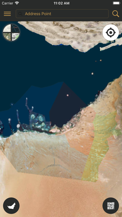
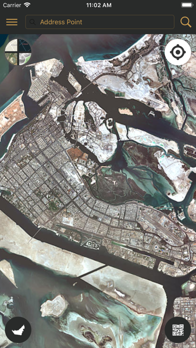
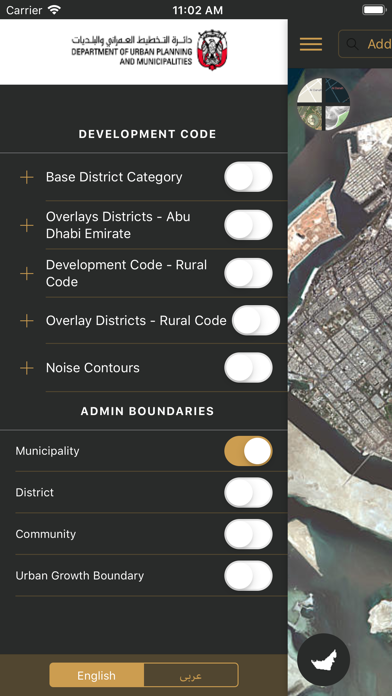
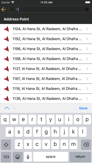
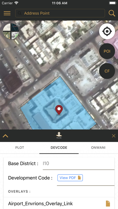
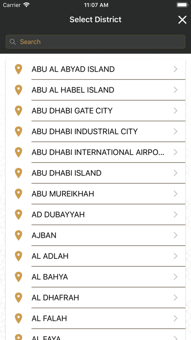
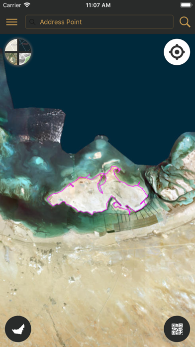
DPM MyLand application is geospatial platform unifying existing DPM GIS applications services that are open to public users in smart and easy-to-use for web portal and smart mobiles app, catering all three municipalities (Abu Dhabi, Al Ain and Al Dhafra). The DMP public applications that MyLand includes are Onwani, Site plan and Development Code as well as community facility locators. Onwani addressing functions in MyLand include locating of address points, street names, districts, QR code location. The Siteplan module of the MyLand are related to plots and land information. Users can scan the QR code on the printed Siteplan from Abu Dhabi Land Management system to display the plot and its information in MyLand application. Plot information from three Municipalities can be searched in MyLand using zone, sector, road, plot no. MyLand also displays other GIS overlays like Building development code, admin boundaries. The application also provide information about allocated land for community facility and its built up condition as well as the licensed community facilities locations.